How to Choose the Best Automatic Level for Construction & Surveying (Top Picks & Real-World Advice)
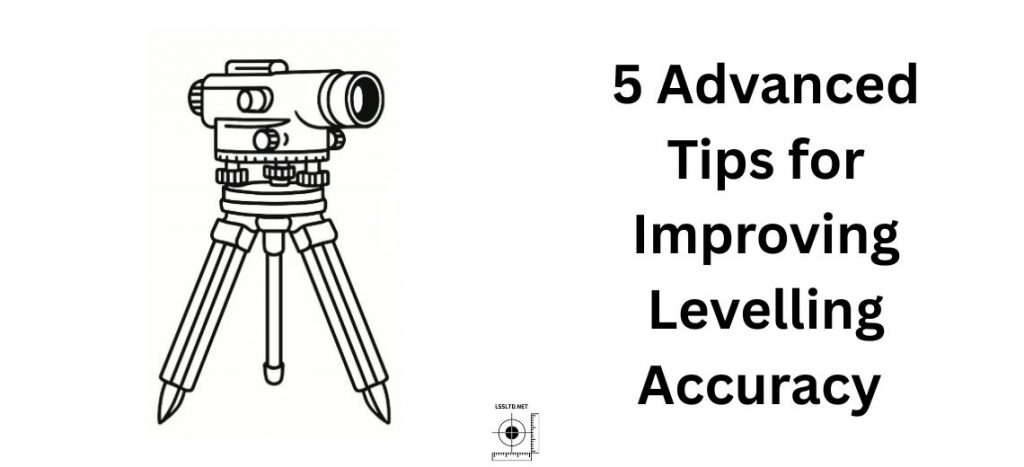
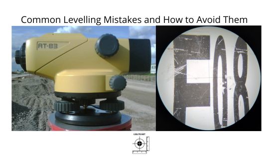
Key Points from This Article If you’re in the market for an automatic (dumpy) level, it’s easy to get lost in technical jargon, endless model numbers, and bold marketing claims. Having worked with nearly every major level on the UK market over the past two decades—including multiple generations of Topcon and Leica instruments—I know what […]
